West Linn hopes to adopt waterfront vision plan by year’s end
Published 5:20 pm Monday, June 2, 2025
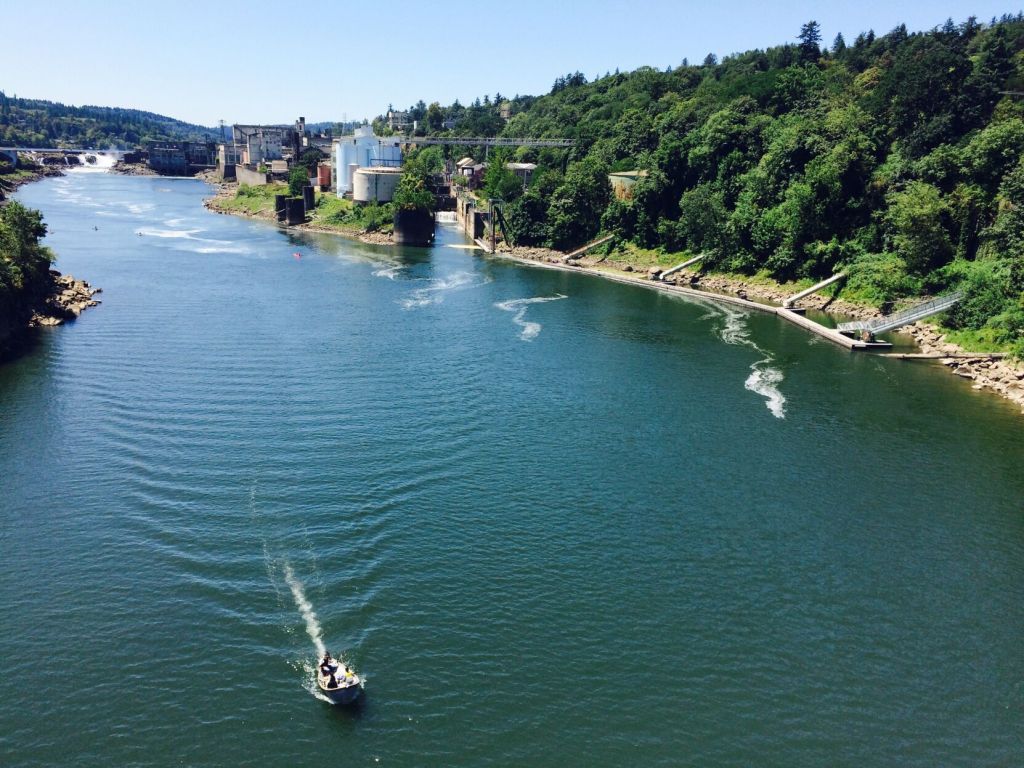
- The city of West Linn is working on a vision plan for the Willamette River waterfront area. (Staff file photo)
Before the end of 2025, the West Linn City Council plans to adopt the Waterfront Vision Plan — a project years in the making.
At a work session of the City Council Monday, June 2, West Linn planning manager Darren Wyss laid out the final six months of the planning project.
The city of West Linn has pondered reimagining the area along the Willamette River for decades, but Wyss said city efforts dating back to 2016 have helped shape the vision plan, a draft of which was finished last year. The plan for the waterfront area — defined as the 275 acres bounded by the Willamette River, I-205, the Willamette neighborhood and the Abernethy Bridge — envisions transformation of the waterfront “into a vibrant place that provides new opportunities for residents and visitors to access and experience the natural beauty and cultural richness of the area,” the vision plan states.
The city has established a tax increment financing— also known as urban renewal— district for the area to help fund improvements needed to see the vision to fruition.
The plan splits the waterfront area into three districts with distinct characteristics: the Historic City Hall district, the cultural heritage district and the ponds district.
Wyss told council that the results of a community survey conducted last winter bore solid support for the plan as a whole as well as visions and schematics for each district, with about 66% of respondents saying they broadly supported the vision plan.
Support was weakest — though still at 61% — for renderings of the ponds district. Wyss said support for this area might lag behind the others because of environmental concerns around the Willamette Wetlands and settling ponds of the former Blue Heron Paper Mill, both of which lie within that district.
Council President Mary Baumgardner expressed concern about the disposition of the settling pond and whether its contents are adequately contained. Should development such as housing take place near the ponds, Baumgardner asked whether the city bore any responsibility in making sure the ponds were not a hazard. City Manager John Williams said the Department of Environmental Quality has done testing on the site previously, but likely not for several years, and it would be a good idea to restart conversations with DEQ about the safety of the ponds.
Baumgardner also mentioned a desire to learn more specifics about Indigenous people who previously lived within the project area. The project boundary encompasses the western shore of Willamette Falls where Native American tribes from across the region traded and fished for centuries — a practice that still holds deep significance for those tribes.
Prior to the council’s adoption of the vision plan in November, Wyss said project staff intend to do more outreach about the plan over the summer, including two open houses, a meeting of the project working group, information booths at the West Linn Summer Market and meetings with property owners and stakeholders within the project area.